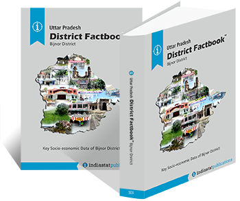
A standalone socio-economic reference for 620 of India's districts— demographics, agriculture, industry, banking, health, education and infrastructure, drawn from primary government sources and consolidated into a single hardbound factbook per district.
Cropping pattern, irrigation, yields, kharif and rabi tables, horticulture, livestock, fisheries and the share of agriculture in the district economy.
Source index, definitions, methodology notes and a complete bibliography for every figure used in the factbook.
Branch network, deposits, credit, credit-deposit ratio, priority-sector lending and a list of major banks and cooperative institutions in the district.
NCRB-sourced crime statistics, police strength, courts, jails and a multi-year trend on cognisable offences in the district.
Census 2011 data with mid-decade projections — population, literacy, sex ratio, religion, caste, language, urban–rural split, age structure.
Geography, area, population, administrative units (tehsils, blocks, gram panchayats), the headquarters town and the historical evolution of the district's boundaries.
Schools by type, enrolment, dropout rates, PTR, literacy progression, higher-education institutions, ITI & polytechnic provision.
Hospitals, beds, doctors, IMR, MMR, immunisation coverage, ANC visits, scheme implementation (Ayushman, JSY) and a public-health infrastructure map.
Industrial estates, factory employment, MSME counts, sector-wise output, key clusters and the district's place in state and national industrial output.
Roads, railways, power, water supply, sanitation, telecom — the district's physical and digital infrastructure inventory.
Panchayati Raj institutions, municipal bodies, district planning committee, MPs and MLAs representing the district and ZP elections record.
Implementation tables for over 60 central and state schemes — NREGA, PMGSY, PMAY, NRLM, PMKSY, MGNREGA, beneficiary counts and works completed.
If you need the headline figures at a glance — without the full apparatus of the hardbound factbook — the District FactPage™condenses each district into a single A3 reference sheet. Same data, lighter format, lower price point. Ideal for desk reference, field officers and classroom use.
The District Factbook™ is built to the same seventeen-chapter editorial template, refreshed at each major data cycle — census, NFHS, Economic Survey, Union and state budgets. Where the Constituency and Assembly Factbooks work at the electoral level, the District Factbook™ works at the administrative level — the unit at which most of India's planning and welfare delivery actually happens.
Every figure is sourced; every projection is methodology-stated on the page where it appears. Where official data is silent, the silence is recorded.