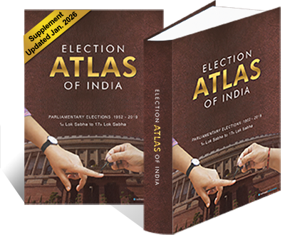
Seventy-five years of Indian democracy, drawn cartographically. Every Lok Sabha General Election from 1952 to 2024, every parliamentary constituency, plotted plate by plate — bound in a single A3 hardbound 488 cartographic pages with an updated addendum till June 2026.
An election is, before anything else, a geography.The Editorial Preamble · 3rd Edition, 2024
The Election Atlas exists to show that geography plainly — every constituency, every contest, every change of hand — so a citizen can see how the country has voted and a scholar can see what it means.
The first cartographic compendium of every Lok Sabha election from 1952 to 2014 — 380 plates, A3 hardbound.
The first revision after the 2019 mandate — 432 plates added the maps, graphs and data tables for 2019 Lok Sabha Elections.
Updated through the 18th Lok Sabha 2024. 488 plates, new colour standards, with addendum for 2024 election data.
The Election Atlas is the work of a standing editorial desk, refreshed at every general election. Every result is sourced from the Election Commission of India's Statistical Reports; every constituency boundary is reconciled against the Delimitation Commission's notifications; every plate is engraved to the same colour standard.
Where two official sources disagree — and they sometimes do — the Atlas records the discrepancy in the methodology appendix. The standard is plain: no plate is published whose source cannot be cited.
An indispensable cartographic reference — the only single work that lets one read seventy years of Indian elections at one sitting.Indian Political Science Review3rd edition
For anyone teaching Indian politics, the Atlas is now the standard classroom companion. The plates do work that prose alone cannot.Professor of Political ScienceA leading central university, Delhi
Where the Election Commission's data ends, the Atlas's interpretation begins — and the interpretation is honest, plain and meticulously sourced.Library Acquisitions NoteParliament Library, New Delhi